I’m late getting this posted, but I’m very happy to share that the book “Kansas Landscapes – A Photographic Tour of the Region’s Geological History” by Keith Miller is out now which features several of my photographs along with photographs by Mickey Shannon and Mark Clarke.
The idea for this book started many years ago after Keith and I presented together for a class at a local retirement home. Keith discussed the geology of the different regions of Kansas and I showed photographs from these regions. The timing didn’t work out for us to get a book together then, but a few years ago Keith reached out to me about getting the book put together. I’m really glad we were finally able to make that happen.

(Generalized Physiographic Map of Kansas by the Kansas Geological Survey. Accessed at: https://kgs.ku.edu/generalized-physiographic-map-kansas used with permission).
The book is organized into sections based on the different physiographic regions of Kansas (shown above). Keith discusses the geological history and features of each area. It has been fascinating for me to learn about the history of each of these regions and the events that have shaped them. As a landscape photographer, I’m drawn to shapes and textures of the land I’m photographing, but haven’t really thought much about the forces and events that shaped those landscapes. Thinking about the age of the rocks visible in the different regions of the states and what the world looked like when those rocks were formed has also been interesting for me to learn about and has given me a new perspective of the world around me.
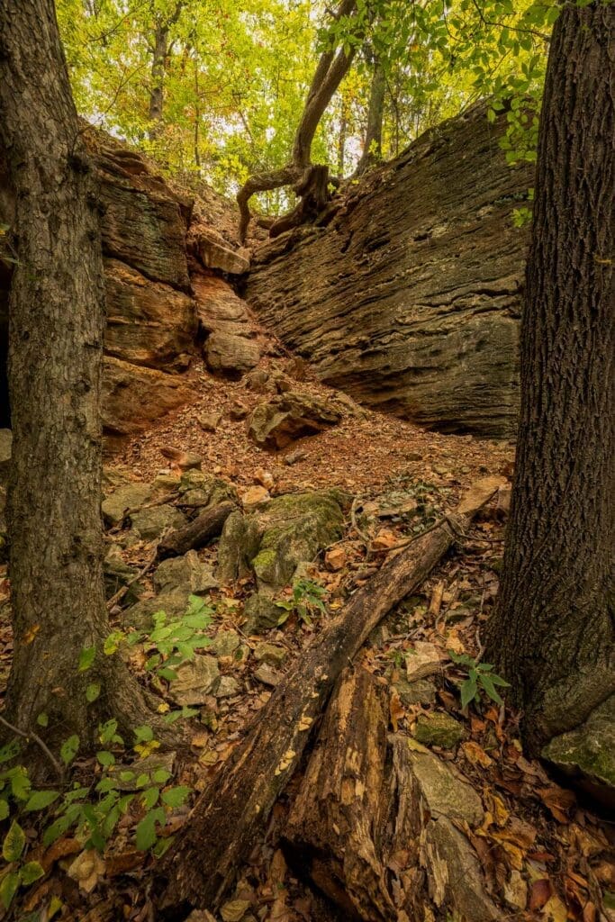
The photo above is from the Ozark Plateau region (in the far southeast corner of the state) which has the oldest exposed rocks in Kansas. These sedimentary rocks were deposited around 330 to 345 million years ago. I photographed these in the Schermerhorn Park in the Fall which was a beautiful time to visit this area. I’ve only made one trip to this park, but definitely want to return again.
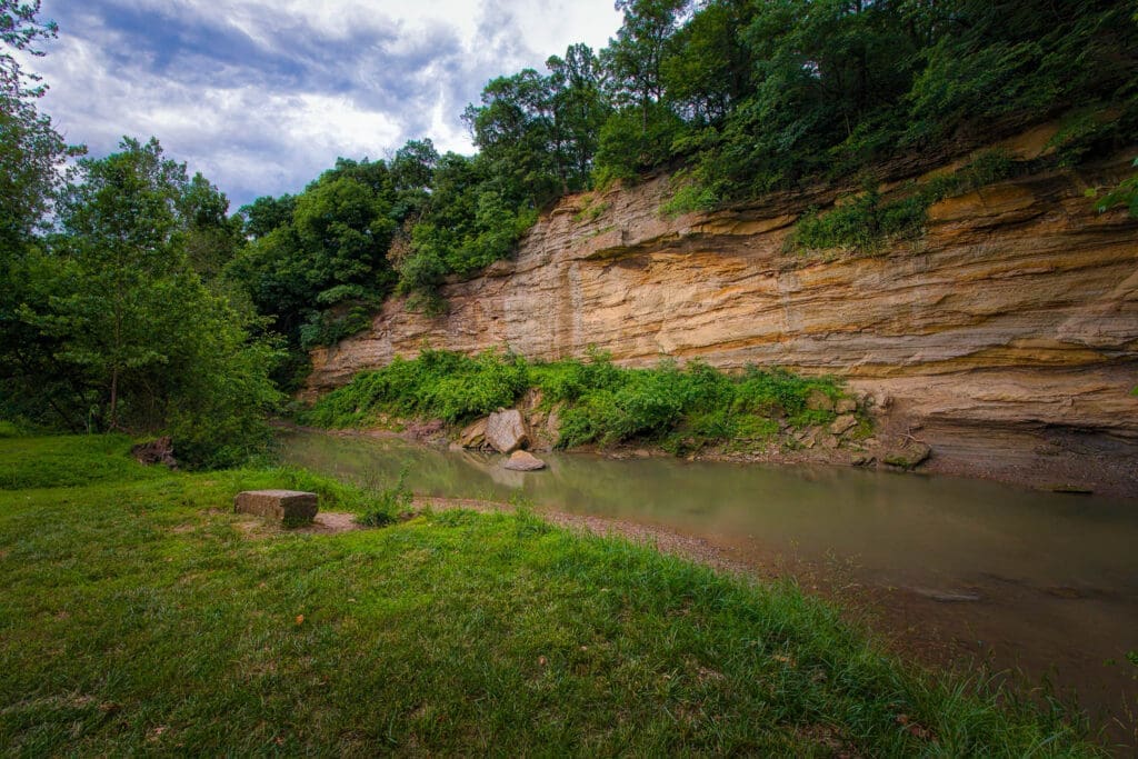
This next photo was taken at Echo Cliff Park and shows the rock formations found in the Osage Cuestas region, which is also found in eastern Kansas. The rocks in this part of the state were were deposited around 299 to 323 million years ago.
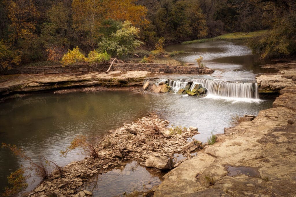
This region of Kansas contains several waterfalls like the one shown above near Elk Falls. Most of the waterfalls in Kansas flow seasonally with the best time to catch them running with strong flows of water is in the spring or summer after heavy rains. Heavy winter snows can also sometimes provide good photo opportunities to see the waterfalls running.

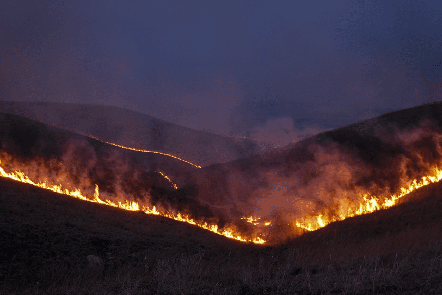
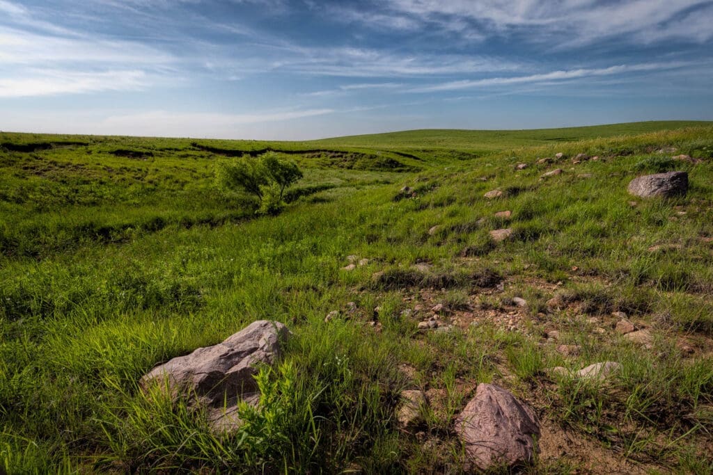
Also in the eastern part of the state is the Flint Hills, probably the most well known region of Kansas. The Flint Hills are an important ecological region holding the last large region of the tallgrass prairie in North America, wiith only about 4% of the tallgrass prairie remaining (see the map here for a view of historic range of the tallgrass prairie). The Flint Hills is where I do most of my photography, but I didn’t know much about the regions geological history until working with Keith on this book.
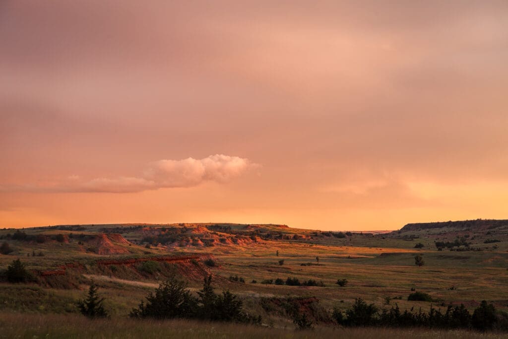
The Red Hills (also sometimes called the Gyp or Gypsum Hills) located in south central Kansas showcase rocks deposited 260 to 280 million years ago. This region of the state has very unique landscapes and I’ve always enjoyed photographing the views here. This part of the state played an important role in my family history with some of my ancestors first settling here in the late 1800’s.

This area of Kansas also contains the Big Basin Prairie Preserve which is basically a large sinkhole about a mile in diameter. I took the photo above on a trip here with my Dad and I will always remember the profound silence of that day. It was an incredible experience to be out in this landscape with no traffic sounds, no airplanes flying overhead and just a whisper of a breeze.

The Smoky Hills is a fascinating area of Kansas with rocks deposited 66 to 145 million years ago and record an interesting time of geological history. During the Cretaceous Period, most of Kansas was under water. The western edge of the Smoky Hills contains chalk beds which were formed from the remains of tiny sea creatures. It is pretty interesting to photograph these rock formations standing on essentially the floor of an ancient ocean. You can view these rock formations at Monument Rocks, Castle Rock, and the newest state park in Kansas, Little Jerusalem Badlands. The Smoky Hills is a large region with various different rock formations present. Some other areas in this part of the state to visit are the hiking trails at Kanopolis Lake , Mushroom Rock State Park, and Rock City Park.
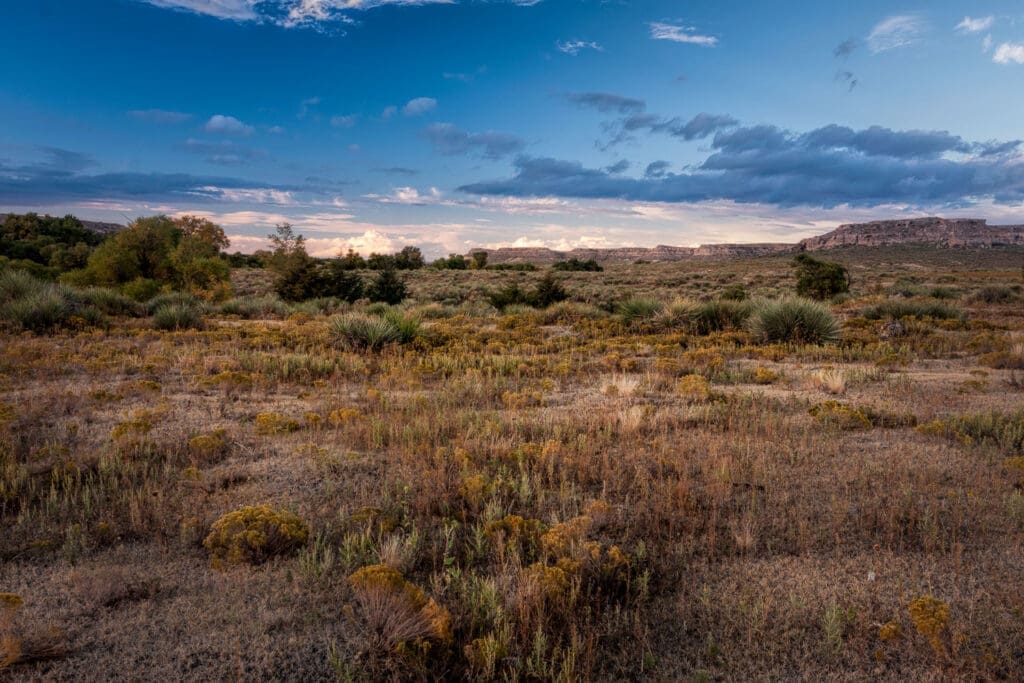
The High Plains region covers almost the entire western third of Kansas. This area is predominately shortgrass prairie and consists of flatlands and gently rolling hills and was formed by material eroding from the Rocky Mountains during the Miocene era. There is a stark beauty to the High Plains that I find peaceful.
This last photo is from the Glaciated Region in the northeast corner of Kansas. This is another region that I didn’t know much about until working on this project. During the Pleistocene Epoch, the northeast corner of Kansas was covered in ice sheets, with the ice reaching as far as Topeka and Lawrence around 600,000 years ago with the ice reaching up to 500 feet thick. This is another place that is fascinating to photograph thinking about being under 500 feet of ice. The rocks shown in the photo above are glacial erratics and were carried down to Kansas by the ice from Minnesota, South Dakota, and Iowa. These rocks are composed of sandstone over a billion years old.
I learned a lot of the geological history of Kansas working on this book with Keith. Keith does a fantastic job of describing the geology of Kansas in the book. The book can be purchased directly from the University of Kansas Press, from Bookstore.Org, and please look for it on the shelves of independent book stores such as The Dusty Bookshelf, Flint Hills Books, Red Fern Booksellers, Faith and Life (and any other independent book store!).